Hydrogeology, Geothermal & Remote Sensing, GIS Labaratory (HydroThermRS Lab.)
Overview
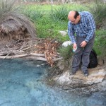
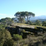
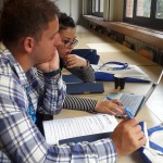
Welcome to the “Hydrogeology, Geothermal & Remote Sensing, GIS Labaratory”. We are working in an multi-disciplinary environment such as: Hydrogeology, Hydrology, Geothermal, Remote sensing of hydrology, in-situ observation and measurement of hydrogeophysical variables.
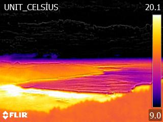
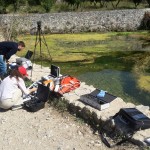
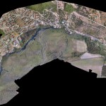
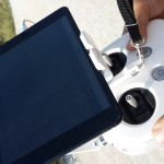
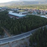
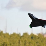
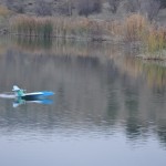
Our research group have recently three quadrotors and A-UAV equipped with Tetracam multispec camera, FLIR Vue Pro R+ thermal camera, DJI 4HD Camera. Using these device and in-situ measurement, our aim is to improve spatio-temporal data resolution to create high resolution hydrological/hydrogeological model inputs.
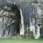
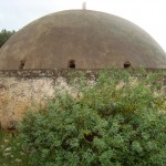
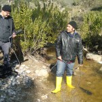
Photos: “Hydrogeology, Geothermal & Remote Sensing, GIS Labaratory”
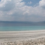
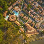
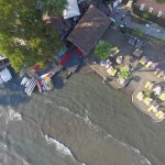
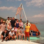
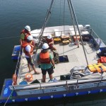
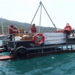
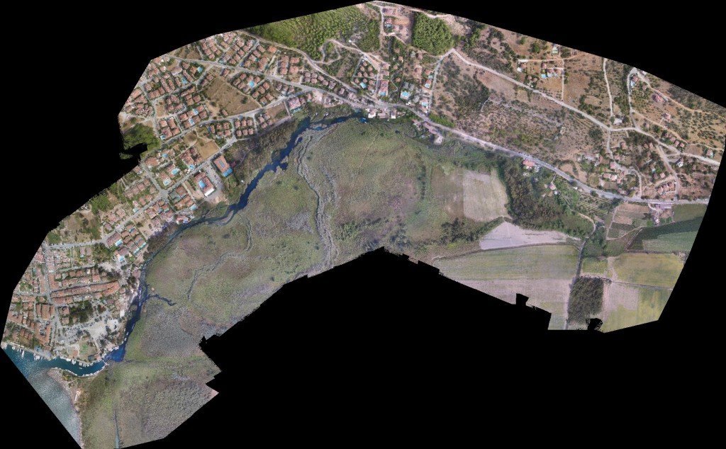
Research Boat View with Drone (PhD. Student Cağdaş Sağır)
Latest News
The call for applications for the SKV-French Embassy scholarships 2018/2019 is now open.
Click Picture for Lab. Staff


Contact info :

Hydrogeology, Remote Sensing and GIS R. Group: bkurtulus [at] mu.edu.tr, Tel: 00 90 252 211 18 24
Geothermal R. Group: oavsar [at] mu.edu.tr, Tel: 00 90 252 211 31 56
Assist.Prof.Dr. Bedri Kurtulus
“We believe science, We protect future”